
Dotori GPS Tracker
Trail maps and recipient map choices. Trip step recording is coming in an upcoming update.

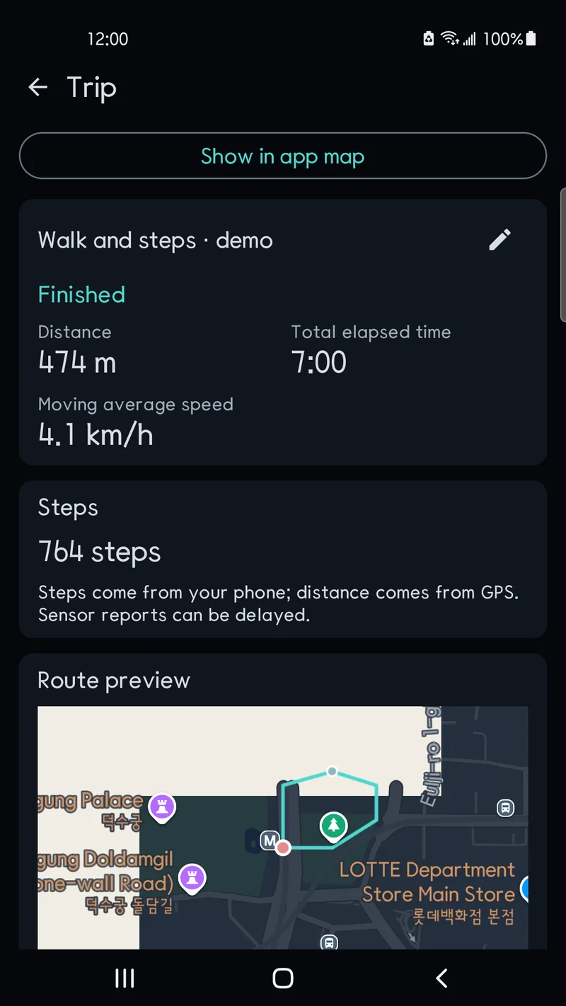
Release note (5 November 2026): Step recording is not in the current Play Store release. The step-count screen below previews an unreleased update and will be available after that update is published.
Main features
Maps and place search
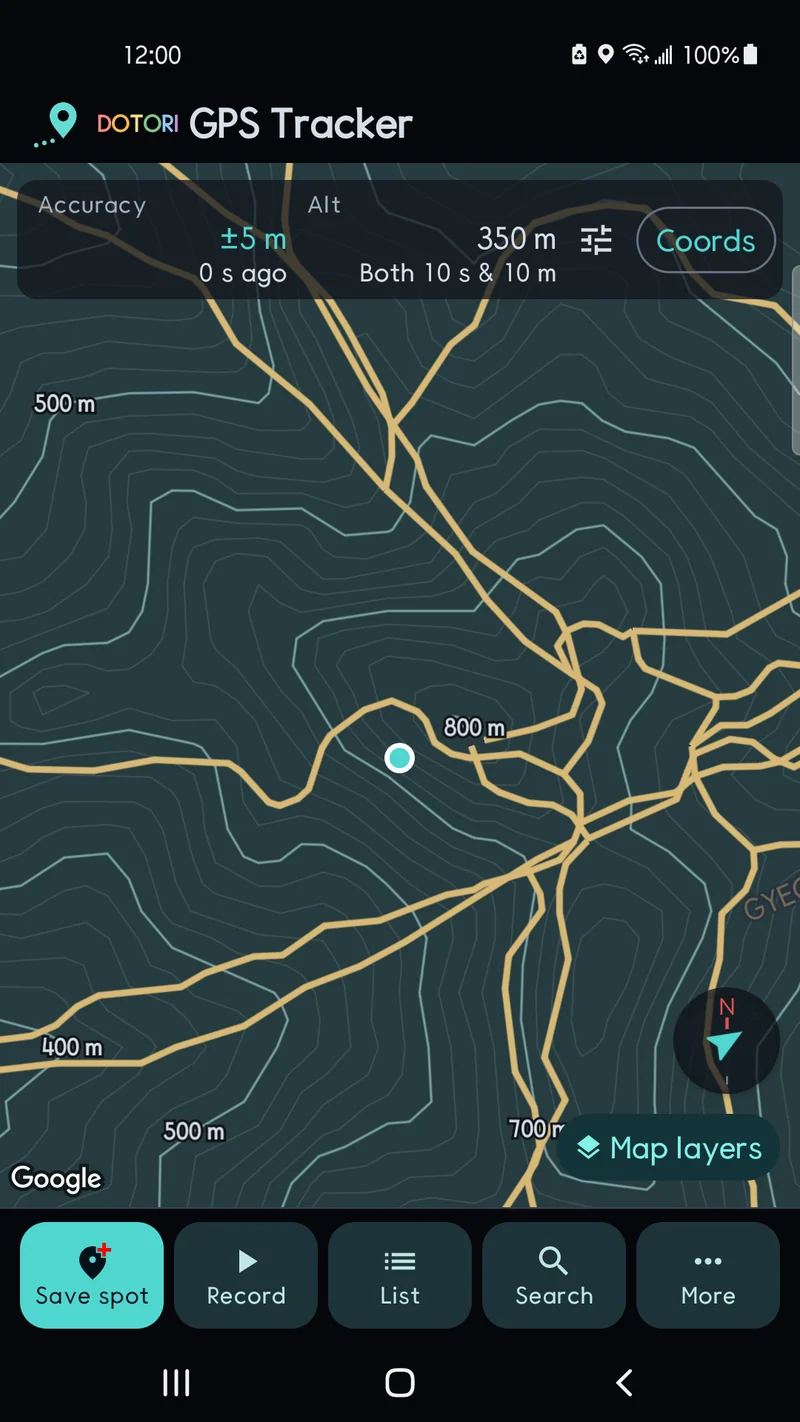
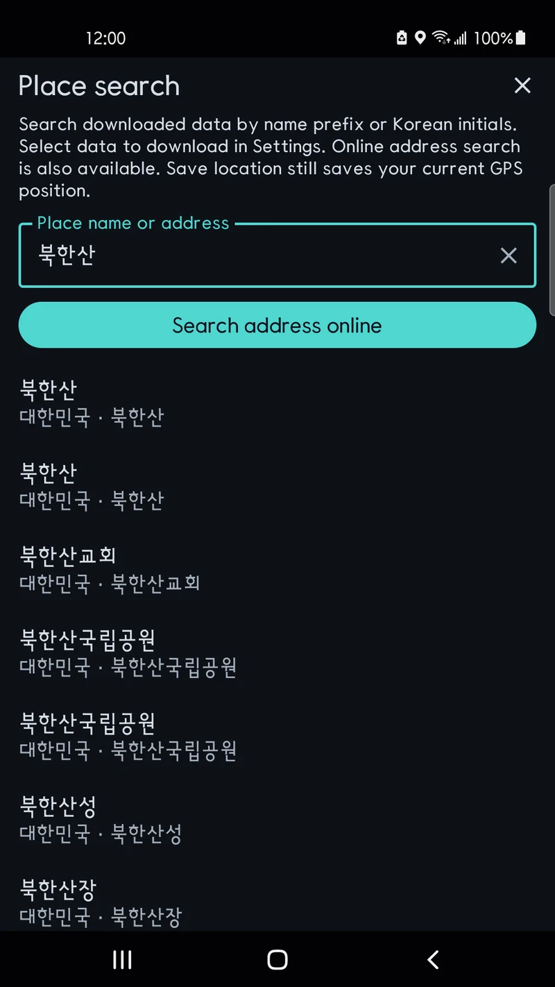
Download optional Korean hiking trails and contour lines. Search installed Korean place and regional business data by name prefix or initial letters, or run online address search.
Save places and find the direction back
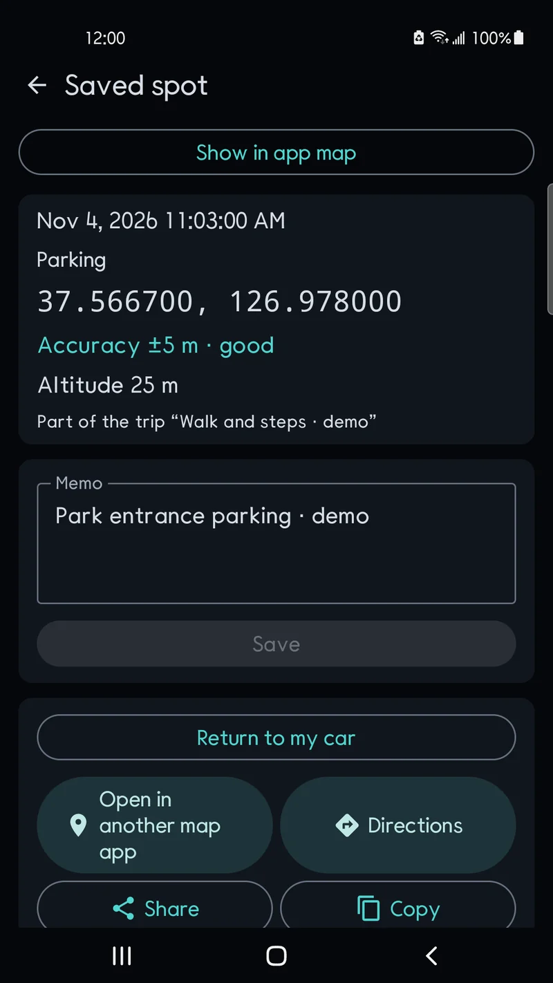
Save places with notes and categories. A compass shows direction and straight-line distance back, with My car for parking places. Open an external map app for directions.
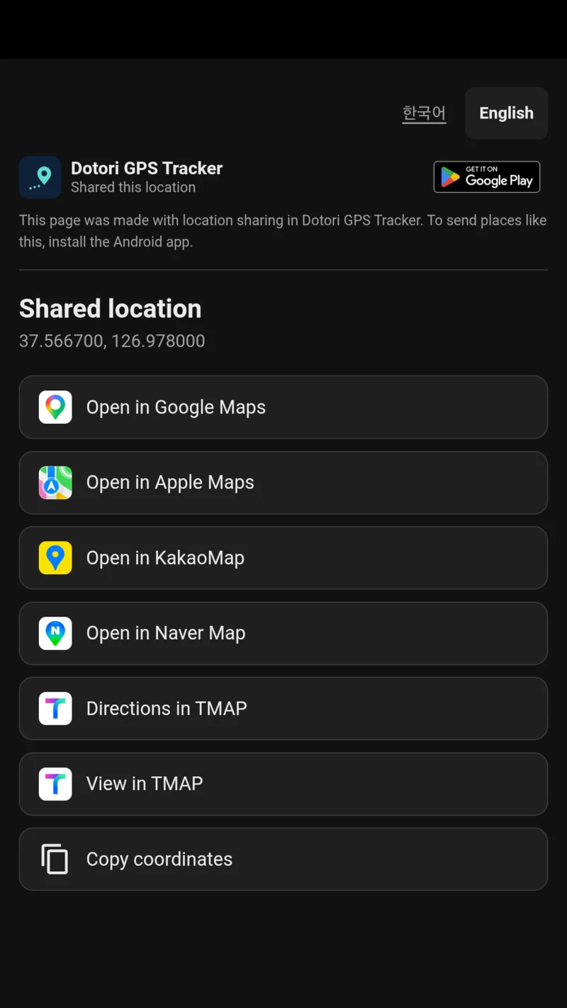
You share the location. They choose the map app.
A location link opens a shared page where the recipient chooses KakaoMap, NAVER Map, TMAP or Google Maps. Verified on Android, subject to each app’s installation and availability.
Route records and trip steps preview
Record by time, distance or both. Review distance, trip duration, moving time, speed and ascent. The upcoming update lets you enable Record steps to save phone-sensor step counts during that journey.
Speedometer and HUD
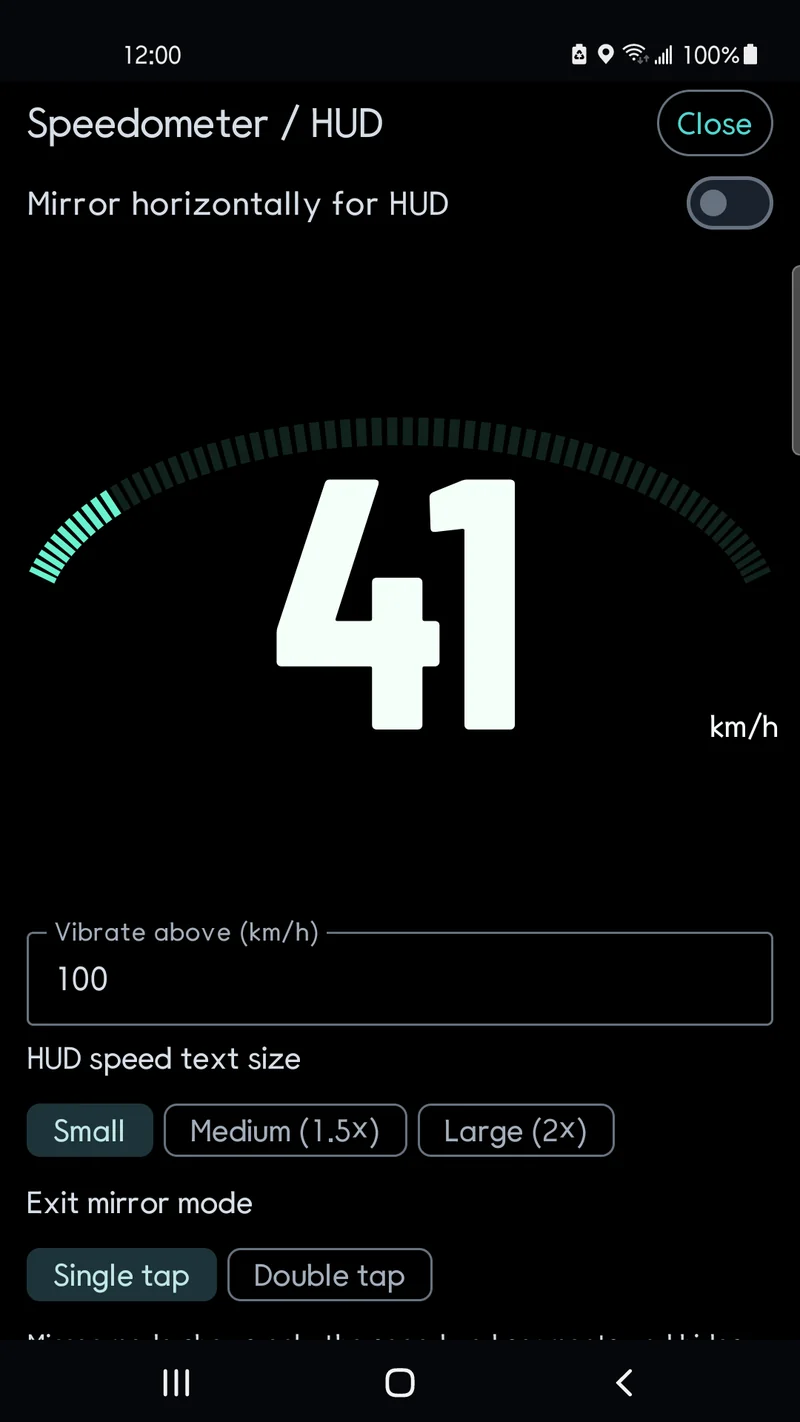
Use large GPS speed digits or a mirrored HUD. The full-screen HUD hides ads and vibrates above a speed threshold you set.
119 location message
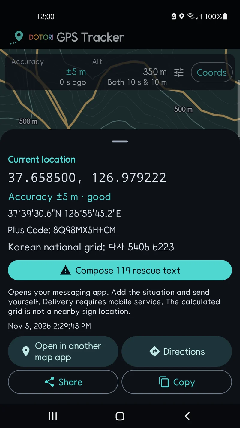
Prepare a message to South Korea’s 119 with coordinates, a calculated national grid reference, accuracy and fix time. Add details and send it yourself.
Local records and backup
Keep records on your phone without an account. JSON backup includes records and step counts; restoring replaces existing records.
GPS status and coordinates
Check accuracy, altitude and satellite signals. View or enter decimal coordinates, degrees-minutes-seconds and Plus Codes.
Load and follow a shared route
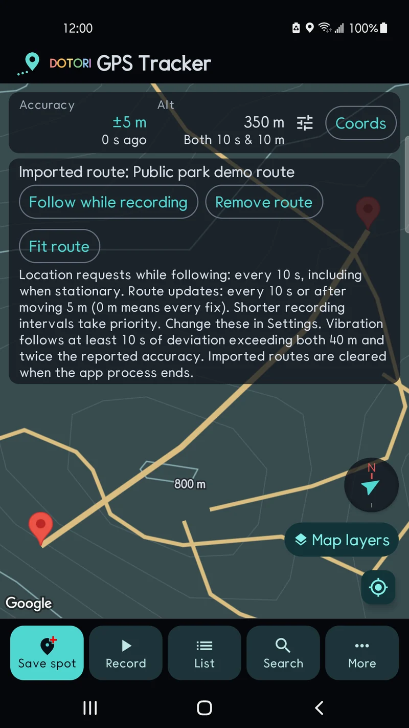
Import a route file, record while following it and receive sustained-deviation vibration alerts. Save or share your own route. GPX exports do not include steps.
Screens
Routes, notes and step counts are synthetic examples at public places.
Requirements and limits
Android 8.0+. Location permission is required. Step recording needs a supported phone sensor and counts during a trip. Physical activity permission is requested where needed. Screen-off recording depends on device settings, power saving and reception. The base map is online; downloaded search, trail and contour data can be read offline. Korean trail sources mainly date from 2016-2019 and do not cover every trail or current closures. The return compass shows a straight-line direction. The HUD threshold is user-defined. Send 119 messages yourself. GPS, speed and steps can have errors. This is not an emergency, safety or surveying service.
Privacy
Location, route, note and step records stay on your phone. Google Maps and Google Mobile Ads apply their own data practices. GPS records, notes and steps are not added to advertising requests. External maps, sharing and export pass the selected content to your chosen destination.